Hydrographic Surveys
Services
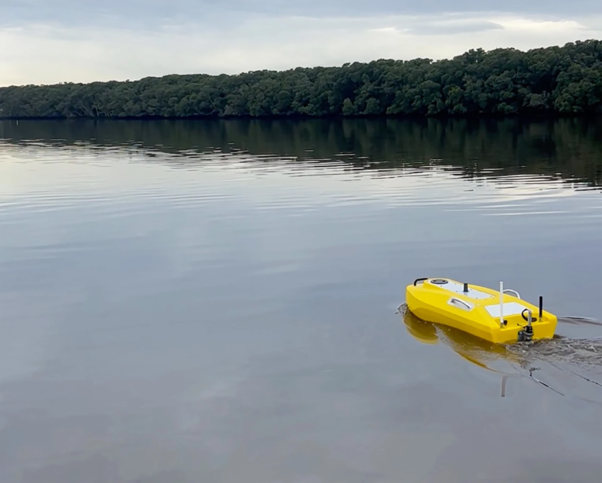
- Pacific Survey operate a specialist Hydrographic Unmanned Survey Vessel (USV), ideal for surveys of rivers, dams, estuaries and near-shore.
- The vessel supports a professional grade dual-frequency echo sounder and RTK GNSS receiver for accurate depth and position determination, accurately differentiating soft sediment and hard substrate layers.
- Advantages of using a USV over a conventional boat include enhanced safety by eliminating the need for personnel on the water, improved data quality from autonomous and precise navigation, the ability to operate in shallow water and manoeuvre in tight confines.
- Environmental Compatibility – low-draft design and electric propulsion minimise noise and wake, no exhaust or engine pollution from use of electric motors, delivering negligible environmental disturbance for sensitive aquatic habitat evaluation or harmful pollution to drinking water supplies.
- River Surveys – flood modelling, sediment transport studies, riverbank slips and waterway management.
- Dam Surveys – bathymetric mapping to assess sedimentation, structural integrity and water storage capacity.
- Estuary Surveys – habitat assessment, channel mapping and environmental monitoring.
- Near-Shore Surveys – port operation continuation and coastal habitat preservation via surveys around piers and infrastructure, as well as close to shorelines.
- Erosion or Deposition Monitoring – progressive erosion studies, and assessment of dredging needs including volume calculations.
- Data Integration – resulting data is readily integrated into GIS, CAD and marine charting platforms.
- View the Hydrographic Survey Capability Statement for further information.